July 27, 2026 · 8 min read
Google Ads Radius Targeting: ZIPs, Cities, or Distance?
Choose radius, city, or postal-code targeting from the service area customers can actually reach or the team can serve.
By the AdvisorPPC Team · Reviewed by Claude
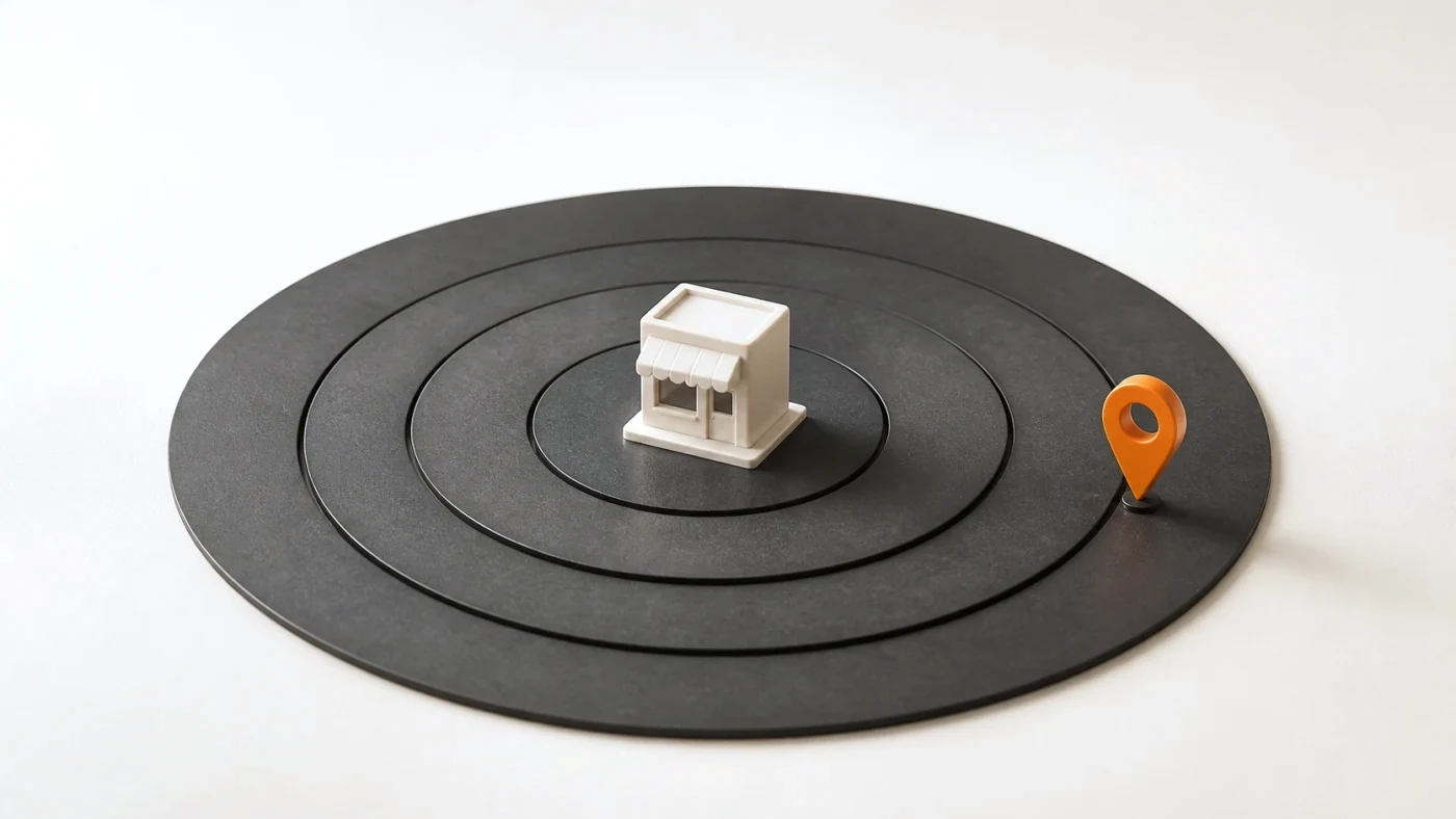
Use radius targeting when serviceability is genuinely defined by distance from a point. Use cities or postal areas when business boundaries, delivery rules, licensing, or reporting follow named regions. None draws a perfect real-world border, so combine the chosen target with presence settings, exclusions, and location reports.
What does radius targeting do?
Radius targeting makes a campaign eligible around an address or map point within a distance you set. Google notes that available location target types vary by country and that very small targets may serve intermittently. Check the map and estimated reach, but do not treat either as proof of exact physical boundaries.
Follow Google's current location-targeting instructions for the interface and supported target types.
When is a city or postal target better?
Named areas fit businesses that price, license, deliver, or report by those areas. They are also easier to explain to operators who know which cities or postal codes they accept. The tradeoff is that political and postal boundaries may include distant corners or exclude nearby customers across a border.
How do you choose the radius size?
Start from operational truth: travel time, delivery cost, clinician or technician coverage, branch capacity, and the value of the job. A straight-line radius is not drive time. Roads, water, traffic, and service territories can make two points at the same distance very different. Use exclusions to cut areas the circle includes but the team cannot serve.
The broader location-targeting guide explains why the target shape must also use the correct presence option. Then add the blocked areas described in geo exclusions.
How do you verify where paid clicks came from?
Read the location reports after traffic arrives. Compare targeted locations with the geographic views Google reports for users, sort by cost and qualified conversions, and flag areas outside the real service map. Google's location reports documentation explains the difference between where people were and what they were interested in. A target setting is an instruction; the report is the evidence of how that instruction served.
Review queries at the same time. A click inside the radius can still be wrong because the search requested a different city or an unsupported service. The Search Terms report workflow catches that second layer, while the home-services playbook connects geography with service and schedule decisions.
When should you split areas into campaigns?
Split locations when they need separate budgets, goals, schedules, offers, or operational owners. Do not create many tiny campaigns only to produce a prettier map. Separate control where the business decision differs, and keep similar areas together where they can share one budget and one service promise.
A map target should mirror where the business can fulfil the promise. Recheck it whenever staffing, branches, delivery limits, or service prices change.